Survey-Grade Deliverables


Engineer firms
Speed up design with LiDAR-Based Aerial Mapping. Our precise technology beats delays from backlogged survey firms, delivering reliable, efficient data to your team.
Survey Firms
With our cutting-edge 3D mapping technology, we can help survey teams alleviate their overflow. Our fast processing, family-owned operation and state-of-the-art equipment help you get ahead and stay ahead.
Environmental Firms
Get fast, reliable data for expert assessments your environmental firm needs to make informed decisions for their clients.
Material Management
Optimize material management for your rock quarry or disaster relief org with our expert stockpile analysis. Trust us for accurate data to make informed decisions.
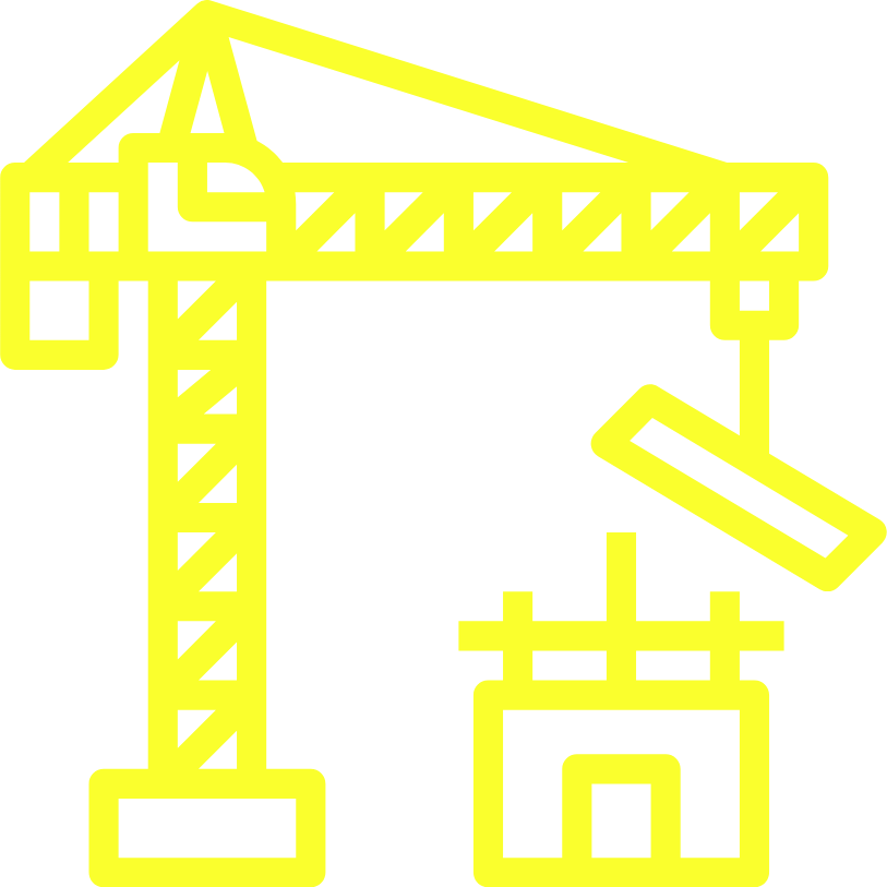
Construction
Streamline your construction design with precise LiDAR DATA. Eliminate error and improve accuracy.

Choose UpMap for safe, compliant drone services. All pilots certified by FAA and led by Chief Pilot In Command. Comply with FAA rules and regulations, plus extra safety measures.

UpMap: 3D mapping expert with DJI M300 and ROCK R2A. Quick processing with Rock Robotics, family-owned in Southern Michigan.

You can count on us
We offer professional-grade deliverables, including contours, accuracy reports, DEMs, breaklines and spot elevations. Use us for your next project!

Liability Insurance
Aero insurance leader, Global Aerospace, offers risk management solutions for aviation & aerospace. Over 95 years of experience. Liability coverage up to $1 million. Customizable options available. Quick turnaround time.
Full disclosure: We are not licensed or certified surveyors or engineers; however, our deliverables can be an invaluable tool for your design team and we can work with your licensed surveyor to provide the data they need.

Call for A Quote
(626) 885-4327
Phone
1 (678)837-6637
upmaptech@gmail.com